
Cedar Park ZIP Code Coverage
Postal geography around Cedar Park is not a municipal boundary system. The official research identifies 78613 and 78630 as Cedar Park post-office geography, and 78641 as a Leander postal geography that can still occur at a Cedar Park jurisdictional address. USPS also lists 78646 for Leander, but no official source located a basis for calling it a Cedar Park municipal ZIP. Treat the table as a routing aid. Confirm the exact address with USPS, the city ZIP layer, and the relevant county search before requesting a record.
| ZIP code | Areas covered | Post office | Local note |
|---|---|---|---|
| 78613 | Cedar Park postal geography | Cedar Park Post Office, 500 E Whitestone Blvd | Common Cedar Park ZIP. Check city limits or ETJ for the specific address. |
| 78630 | Cedar Park postal geography | Cedar Park-associated post-office assignment | Confirm its exact polygon and route detail in USPS and city GIS. |
| 78641 | Leander postal geography with some Cedar Park jurisdictional addresses | Leander Post Office, 801 S Highway 183 | Do not reject a Cedar Park address only because the preferred city is Leander. |
| 78646 | Leander postal geography | Leander context in USPS material | No official Cedar Park city-limit coverage was located. |
Neither a post-office assignment nor a ZIP polygon identifies an owner or a resident. No ZIP-level population or registered-voter count for Cedar Park was located in the official sources reviewed.
Cedar Park and Leander ZIP Split
Cedar Park’s own FAQ makes the local exception clear: municipal jurisdiction and the USPS city label can differ. An address with a Leander postal city and ZIP 78641 may still be in Cedar Park jurisdiction. The city has a small Travis County edge as well, so postal city, municipal city, county, ZIP, and ETJ must remain separate fields. A ZIP-only search can send a parcel to the wrong recorder, elections office, or address-verification system.
The city sends Williamson questions to Williamson County address verification and the Travis edge to Austin and Travis mapping. Cedar Park Atlas supplies a city-limits and ETJ check. This postal quirk is the chief reason the Cedar Park ZIP code directory starts with geography rather than a name.
Boundary check. A ZIP filters an address search, but only an address-specific city, county, and parcel check selects the correct public-record custodian.
Verify Cedar Park ZIP Codes with USPS
The official USPS lookup has three distinct paths. By Address accepts a street address, optional company, apartment or suite, city, state, and ZIP. By City and State accepts a city and state. Cities by ZIP Code starts with the ZIP. Use the first path for a full address and keep the unit with the query. USPS warns that its result does not confirm that a person or company is at an address and cannot guarantee a business’s actual location.
| USPS lookup mode | Fields used | What it settles |
|---|---|---|
| By Address | Street, optional company, apartment or suite, city, state, ZIP | Postal formatting and a deliverable-address check. |
| By City and State | City and state | Postal-city information for a broad location check. |
| Cities by ZIP Code | ZIP | Postal cities associated with the ZIP. |
Open the official USPS ZIP Code Lookup to select the appropriate route.
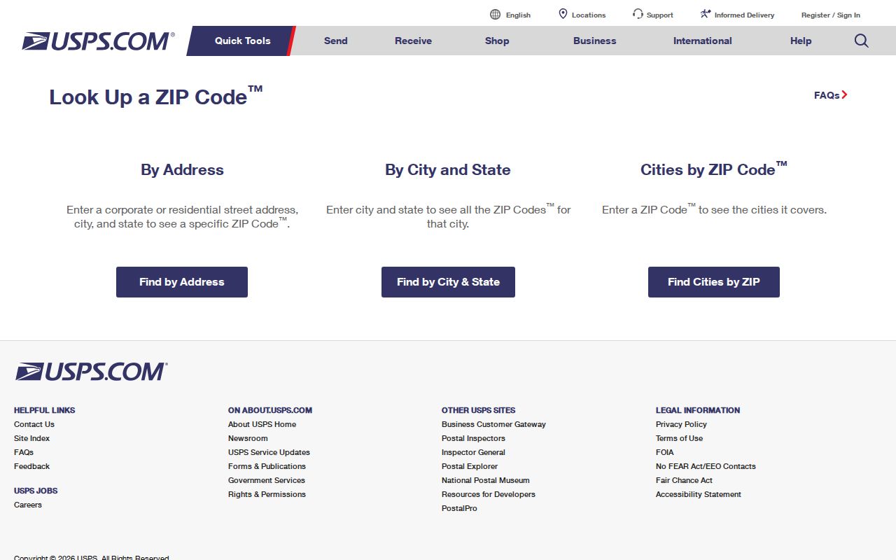
The three tabs are deliberately different. Postal confirmation comes first, then city and county boundary checks determine what government record applies.
Filter Cedar Park ZIP Codes in WCAD
WCAD’s advanced search lets a ZIP narrow a current property search without pretending that the ZIP is an identity field. Combine ZIP with a street-number range, street name, city, neighborhood, or tax year. The form also supports property and CAD identifiers, owner fields, legal-description fields, property type, status, and acreage ranges. At least one value is required. The results grid can include account, owner name and mailing address, situs, legal description, neighborhood, property type, and value fields.
| WCAD control | Type | ZIP code use |
|---|---|---|
| Street number start/end | Text | Constrain a ZIP result to part of a road. |
| Street name, city, ZIP | Text | Use together to distinguish a postal label from a road match. |
| Neighborhood | Text or selection | Add local subdivision context to the ZIP filter. |
| Tax year | Selector | Date the current appraisal view; 2024–2027 were exposed. |
| Search results | Sortable grid and CSV export | Record page count and tax year before saving a limited set. |
The WCAD advanced-search form is the documented ZIP-capable property tool. WCAD’s public data portal and result toolbar support multi-property selection and export, but the property-detail card remains the right source for one parcel. Its situs is a taxable location, while its mailing address may be elsewhere or belong to a representative.
This numbers-based workflow is reproducible: note the range, ZIP, year, total page count, and CSV export date. The research did not establish historic online coverage before the current selector, so older property work needs the County Clerk and microfilm routes rather than a guessed cutoff.
Map Cedar Park ZIP Code Polygons
The city’s ZIP map service is explicitly described as ZIP codes within Cedar Park city limits. It offers an identify function, Find, QueryDomains, map export, return updates, and KML functions, with a maximum record count of 1,000. Pair that polygon with AddressPoints fields for ZIP and POSTAL_COMM and with CityLimits or ETJ layers. A polygon can place an address inside the city while USPS uses a different preferred city label.
The official Cedar Park Atlas organizes the local map library, interactive maps, story maps, and data portal.
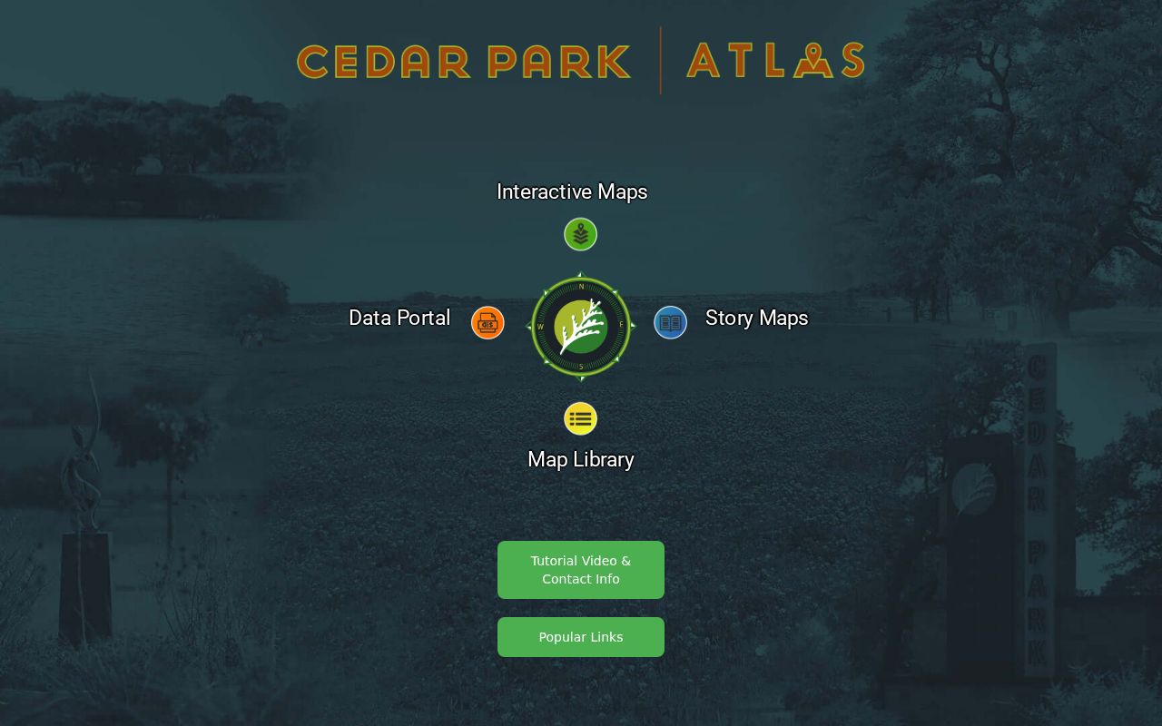
Atlas provides the broader context for ZIP, parcel, neighborhood, permit, and boundary layers before a ZIP-filtered record is interpreted.
The Cedar Park AddressPoints service supplies the field-level postal and county information tied to a standardized address.
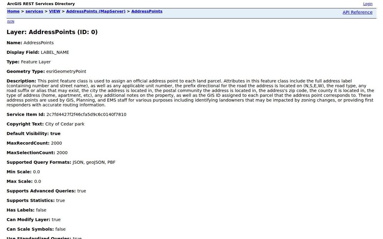
Address type and status are GIS classifications. They explain how an address is managed, not who receives mail or lives at the point.
Note: City ZIP polygons are a municipal reference layer, while USPS remains the delivery-label check for a specific address.
Find Cedar Park Records by ZIP Code
Use a ZIP to narrow a property or map question, then switch to the address and parcel identifiers returned by that search. The workflow is especially important in 78641, where a Leander postal label cannot decide city or county jurisdiction. A controlled search avoids blending a USPS result with a property owner, voter registration, or deed record that uses a different key.
- Enter the complete street address and unit in USPS By Address, then save the normalized postal city and ZIP.
- Identify the address in Cedar Park Atlas or the city ZIP, AddressPoints, CityLimits, and ETJ layers. Record city, postal community, county, ZIP, and GIS ID separately.
- Use the ZIP with a street name or number range in WCAD, then retain the situs, account or property ID, legal description, and tax year.
- Choose the county based on the address-specific boundary result before using a County Clerk, elections, or court route.
- Move to a street segment only after the property trail is narrow enough. The Cedar Park street directory has the address-by-address parcel and deed workflow.
Texas My Voter Portal uses a name, county, date of birth, and ZIP as lookup inputs. Its exact live result columns were not inspectable during research, and protected voters may have confidential or substitute addresses. ZIP is therefore a locator within an authorized request, not a basis for recreating withheld information.
New Cedar Park ZIP Code Gaps
A newly planned subdivision can show up in a permit or plat before it has a usable city address. Cedar Park says it assigns an address after the subdivision plat is recorded and cannot assign one before the plat. When a ZIP or street result seems missing, search the recorded plat through the Williamson or Travis recording system and compare the lot, block, subdivision, and county. Do not fill the gap by assuming the next street number or a nearby ZIP applies.
Williamson GIS provides an Address Request Form and lists address contacts at 512-943-3707 and 512-943-3708. Its GIS office moved to 100 Wilco Way, Suite P101, Georgetown, effective July 27, 2026. That current routing is useful for a documented address or plat question; some datasets can have cost recovery. The city’s permit material and Atlas map layer add project context from 2016 onward, but a contractor or applicant is not automatically an owner or resident.
Cedar Park ZIP Code Limits
ZIP geography is a useful filter, not a personal record. USPS does not confirm that a person is at an address. WCAD describes an ownership and tax record, not a current household. The AddressPoints layer supplies an operational address reference, not an occupancy roll. A voter record has its own confidentiality rules. Keep the ZIP result beside the source that produced it, and avoid drawing a conclusion that the source does not support.
- ZIP code
- A postal sorting area. It can cross municipal lines and does not prove city residence.
- ZIP+4
- An added delivery segment used to refine mail routing. It is not a parcel or ownership identifier.
- PO-box ZIP
- A ZIP used for post-office box service. Research did not establish a Cedar Park PO-box-only designation in the reviewed sources.
- Unique ZIP
- A ZIP assigned to one organization or facility. No Cedar Park unique ZIP was verified in the reviewed sources.
- Carrier route
- A delivery grouping within postal operations. It is not a city-limit boundary or resident list.
For personal, lawful research, confirm the record with the office that holds it and respect address-confidentiality protections. Do not use combined postal and map information to stalk, harass, intimidate, or expose a protected person.