
Cedar Park Previous Residents Sources
The backward trail changes by era. Current parcel information is the entry point for a Cedar Park address in Williamson County, while older deeds, tax rolls, and probate material move to the filmed holdings described by the state archive. Directories and census schedules add household clues, but neither substitutes for a deed chain. Cedar Park also has a small Travis County edge, so confirm the county before assuming that a Williamson County instrument covers the address. The city’s postal label and jurisdiction can differ, especially near the boundary.
| Source | Years It Covers | Where Held | What It Shows |
|---|---|---|---|
| Current WCAD parcel card | Tax-year selector exposed 2024-2027 | Williamson Central Appraisal District | Current owner, situs and mailing fields, account, legal description, values, and sales information. |
| County deeds and indexes | Deeds 1848-1908 filmed; online start not located | Williamson County Clerk and Baylor through TSLAC | Grantor, grantee, instrument, legal description, and volume or page trail. |
| Direct and reverse deed indexes | Early runs 1848-1887; later material into 1904 | Baylor and TSLAC film guide | Buyer and seller paths, including spelling variants. |
| Tax rolls and probate minutes | Tax 1848-1910; probate 1848-1934 | Baylor through TSLAC | Annual ownership or value leads, estates, heirs, and fiduciary clues. |
| Regional directories and census | Austin editions 1872-73 through 1922; census through 1950 | Austin collections and Census/NARA | Historical household, road, community, and regional context. |
| Cedar Park permits | Atlas context from 2016-present | Cedar Park MGO and Atlas | Project and construction chronology, not proof of occupancy. |
Start with the current parcel when the address is known. Start with the county index or the TSLAC film guide when an old deed volume, tract, or cemetery reference is already in hand. The sources for previous residents should be kept in date order, with the county and address form written beside each result. No official Cedar Park city-directory run or Sanborn city sheet was located. That is a real gap, not a reason to assign a regional Austin entry or a permit applicant to a Cedar Park household.
Cedar Park Parcel Card First
Williamson Central Appraisal District Property Search is the strongest current starting point. Its quick search accepts a name, address, or property identifier. The advanced form can narrow by street-number range, street name, city, ZIP, neighborhood, tax year, owner, property type, status, or legal-description fields such as subdivision, block, and tract or lot. The results expose property and account identifiers, owner name, situs address, legal description, neighborhood, and value columns. Record the tax year and query before exporting a result set.
The parcel card should be treated as a key, not a conclusion about who lived at the address. A situs address is the taxable location. OwnerAddress is a mailing field and may point elsewhere, be shared, or be dated. The sample public card for the City of Cedar Park at 450 Cypress Creek Road, Unit 101 shows why this matters: it includes a condo legal description, a related property, a map number, multiple taxing entities, and a zero effective-acre interest. For previous residents, those stable parcel details are more useful than a mailing label alone.
The screenshot comes from WCAD Property Search, the current parcel and address gateway for Cedar Park research.
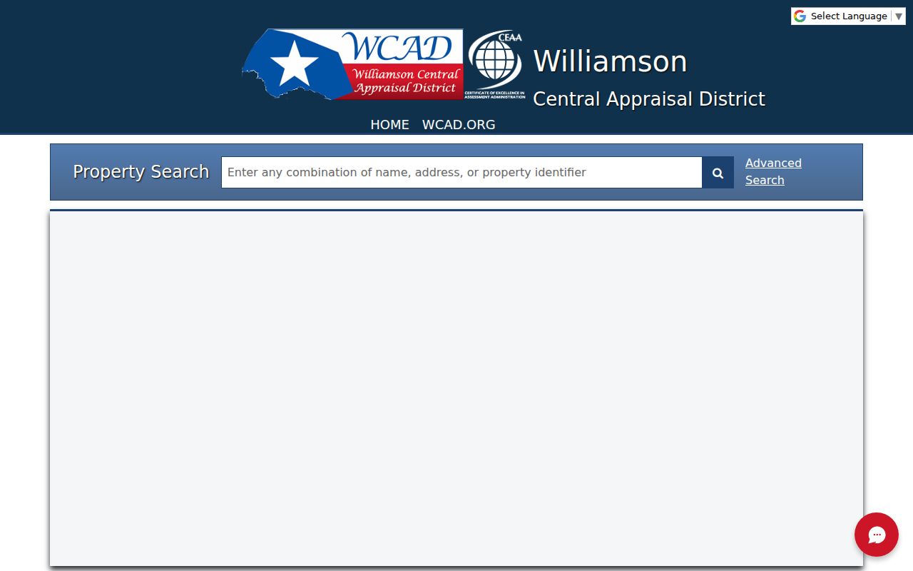
A result should be copied with its property ID, account, tax year, situs, and legal description so later deed and map research can be checked against the same parcel.
Note: A parcel owner or mailing contact is not automatically a current or former occupant of the Cedar Park address.
Cedar Park Previous Residents Deed Chain
The Williamson County Official Public Records index is the bridge from the current parcel to a deed chain. It covers deeds, deeds of trust, plats, liens, releases, restrictions, easements, and related land filings. The research did not locate an official online coverage start date. The county’s own disclaimer says the index is provided for public convenience, may have missing images during backups, can contain errors or omissions, and is not the official repository. Search spelling variants and request a certified copy from the custodian when the distinction matters.
- Copy the current WCAD legal description, parcel or account number, and situs address without substituting the mailing address.
- Find the current owner’s acquisition deed in the County Clerk index, then record the instrument type and number, recording date, grantor, grantee, legal description, and volume or page if shown.
- Search the seller from that deed as a grantee to locate the seller’s earlier acquisition. Compare the legal description at every turn.
- Repeat the grantee-to-earlier-grantor pattern, keeping a dated chain rather than a loose list of matching names.
- When the screen trail ends, use the Baylor/TSLAC films, deed books, or a County Clerk copy request for the earlier volume and page.
- Grantor
- The person or entity transferring an interest in the recorded instrument.
- Grantee
- The person or entity receiving that interest. In a backward search, the earlier seller is often found by searching as a prior grantee.
- Chain of title
- A dated sequence of recorded transfers tied to the same parcel or legal description.
- Legal description
- The tract, subdivision, lot, block, abstract, or other land description that is often more durable than a street address.
The screenshot comes from the Williamson County official-records index, which is a search lead rather than a certified record.
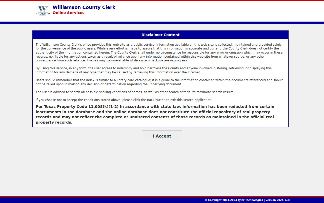
When an image is unavailable online, preserve the index details and move to the County Clerk or film route. A missing image is not proof that the deed does not exist.
Cedar Park Microfilm for Past Residents
The TSLAC Williamson County guide directs historical researchers to Baylor University’s microfilm holdings. Useful runs include deed records from 1848-1908; transcribed direct deed indexes for 1848-1883 and 1883-1887; reverse indexes for 1848-1877 and 1877-1887; later direct and reverse material into 1904; deed-of-trust records from 1880-1891 with an index to 1926; tax rolls from 1848-1910; and probate minutes from 1848-1934. The guide gives reel numbers and repository contacts. Use those details rather than assuming a county screen contains every historical book.
Tax rolls are an annual ownership or value lead, not an occupant list. Probate can connect an estate, heir, or fiduciary to the land trail, but the file may not state who occupied a given address. Older records may use an abstract, tract, church, post office, or rail description instead of a present street. Write down every old form of the place name and keep the index or reel citation beside the original volume and page.
Cedar Park Past Residents by Census
Owners are only part of the story. Pair the deed chain with a released federal census and any documented directory source to look for a household at a particular historical moment. The federal census is released after 72 years, and 1950 is the latest available set cited in the research. Schedules can include names, ages, birthplace, street address, marital status, and other historical fields. The 1890 census was mostly destroyed, so bridge that gap with deed, tax, probate, cemetery, church, or regional directory material instead of treating silence as a local disappearance.
Use a simple trail: legal description and address form, then current parcel card, then recorded deed, then directory or census year, then a cemetery or probate lead if one fits. The Cedar Park city directory collections explain why Austin directories are regional evidence only. A Cedar Park city directory run was not located, and Austin coverage does not prove that a person lived in Cedar Park. Census community labels and the exact address wording should remain in the research notes.
Historical flow: parcel legal description to deed transfer, then dated directory or census entry, then cemetery, probate, or tax evidence to test the household timeline.
The screenshot comes from the Austin digitized directory collection, a regional household-context source with explicit Cedar Park limits.
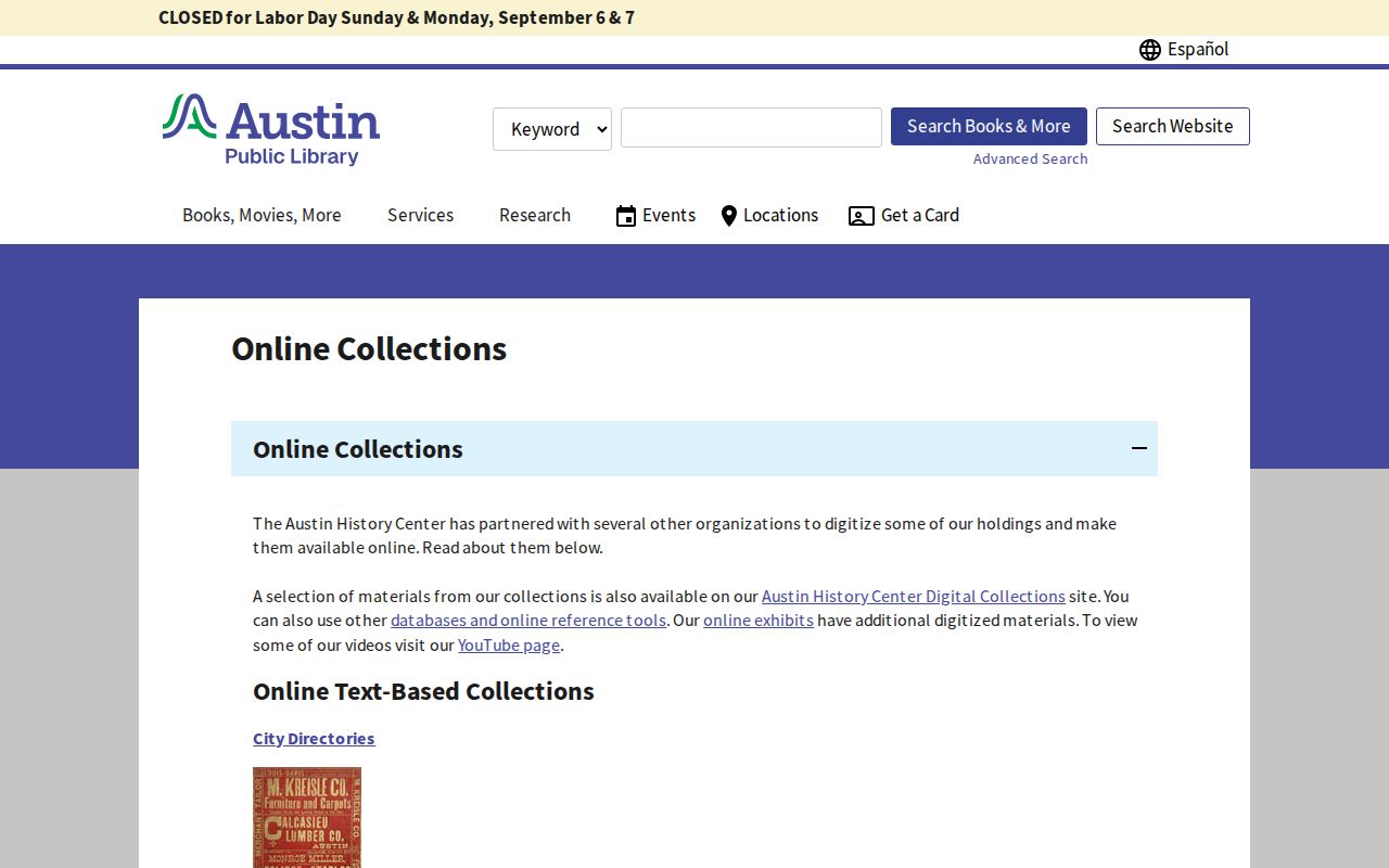
The collection can reveal a regional road or migration connection, but a locality heading is essential before it is used in a Cedar Park past-resident trail.
Note: Directories and census schedules are historical snapshots, so compare their dates with the deed chronology before matching a household to a parcel.
Cedar Park Railroad Parcel Story
Some Cedar Park parcels have a more unusual land-history lead. The historical narrative reports more than 50 railroad right-of-way deeds in Williamson County, with 35 first recorded on March 16, 1882. If a modern parcel lies near the old rail corridor, search railroad and grantor or grantee vocabulary alongside the tract description. An easement, right-of-way, or old farm reference may connect a later subdivision street to an earlier family or transaction.
Run Running Brushy and Brueggerhoff as separate search terms before assuming Cedar Park was the historic label. The community used Running Brushy as a post-office name in 1874 and Brueggerhoff around the railroad period before Cedar Park was adopted in 1887. Those are record-indexing clues. They do not automatically identify a household at a modern address.
Cedar Park Permits and Past Residents
MGO Connect and the Cedar Park Atlas can add a late-period construction timeline. The city’s permit material supports searching by project suffix or street fields, and the Atlas permit context begins in 2016. A permit can show a project, application status, inspection history, date, contractor, or applicant context. It can help date a renovation or addition, but it does not establish ownership or occupancy. A contractor or applicant may be a representative rather than a resident.
For an address that is new or confusing, remember that Cedar Park says an address is assigned after a subdivision plat is recorded. Compare the recorded plat, lot and block, present parcel card, and permit date before tying an older record to the current street form. The city GIS status field is a workflow clue, not a statement about who lived there.
Cedar Park Previous Residents Privacy
Public does not mean unrestricted. The Texas Public Information Act, Tex. Gov’t Code chapter 552, requires a written request to the correct custodian and permits exceptions for protected information. The Williamson County request route accepts hand delivery, mail, or the county’s official email route, but a casual phone question is not a complete request. Keep a request narrow by record type, date range, address, and instrument or case number. The County Clerk cannot perform the search for a requester.
Texas also has an Address Confidentiality Program and voter-address protections for eligible people. A blank, substituted, or protected address is not a gap to work around. Avoid publishing full birth dates, Social Security numbers, driver-license information, medical details, financial-account information, protected addresses, or identity documents. A property ID, instrument number, county, and public-facing record link are usually enough to document a historical finding.