
Cedar Park Neighbors By Block
People around a Cedar Park block are best understood through a small, address-centered source stack. The public parcel map establishes which parcels touch or face the target. AddressPoints supplies the standardized number, unit, road parts, county, postal community, ZIP, type, status, and GIS ID. WCAD adds a tax-owner, situs, mailing, and legal-description trail. Neighborhood and HOA layers add named geographic context. Each source is useful, but none is a roster of everyone living on a block or proof that adjacent people know one another.
| Block Source | What It Shows About a Block | How It Is Accessed |
|---|---|---|
| Cedar Park parcels and AddressPoints | Adjacent shapes, address numbers, units, and GIS identifiers | Cedar Park Atlas and REST identify/query tools |
| StreetLines | Street segment, road geometry, and aliases | Official street-line service |
| WCAD advanced search | Number range, owner, situs, legal description, and value columns | Public advanced property search |
| ZIP, city-limit, and ETJ layers | Postal and municipal-boundary relationship | City map services and map library |
| Neighborhoods and HOA layer | Neighborhood label, HOA field, organization type, crime-watch flag, home count, and ETJ field | Public GIS layer |
| Recorded plat or permit layer | Lot and block layout, easements, project dates, and project context | County Clerk index and city Atlas permit mapping |
Start with the exact street number and unit. A result for an adjoining parcel can support geographic adjacency, but it does not identify a household, a social relationship, or a current occupant. That distinction keeps a block question accurate.
Map Parcels for Cedar Park Neighbors
The adjacent-parcel method is deliberately narrow: target address to GIS ID, target parcel to adjoining shapes, adjoining shapes to parcel or property identifiers, then identifiers to WCAD. Cedar Park Atlas combines map library, interactive maps, story maps, and data tools, so it is the local starting point for a map question. Exact button names can differ between maps. Use identify, query, a small geometry selection, or a distance tool only where the chosen layer exposes it. Export only the attributes needed for the immediate block question.
The Cedar Park Atlas home shown here is the source for the local map workflow.
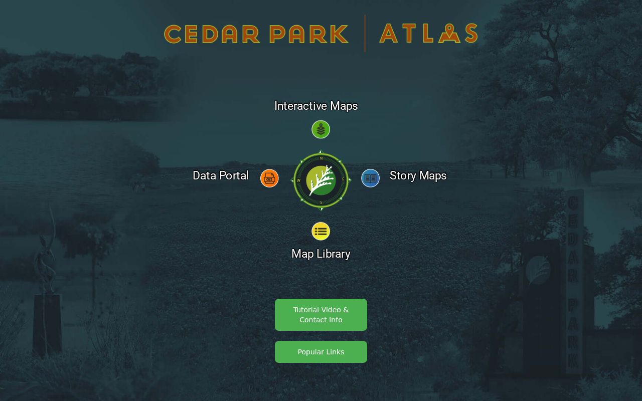
Atlas joins address, parcel, neighborhood, permit, ZIP, and boundary layers in one Cedar Park block workflow, while each layer still needs its own meaning and date.
The WCAD parcel map is the companion viewer for selecting a parcel before opening its property record.
Use a parcel or property identifier from the selected shape when moving from the map to WCAD, rather than matching only on an owner name.
- Search or zoom to the target address and preserve the displayed address, unit, county, and GIS ID.
- Identify the target parcel, then click adjoining parcel shapes or pan along the same street segment.
- Join a selected parcel to WCAD by a parcel or property identifier, never by a fuzzy owner-name match.
- Inspect the plat, ZIP, neighborhood, or permit context only when it answers the block question.
A block-wide chain for a named street uses a different scope. The Cedar Park Street Directory is the appropriate route once the task shifts from nearby addresses to the full street.
Cedar Park Neighbors Address Points
The official AddressPoints layer has one address point per parcel and carries more than a street label. Its fields include address number, unit, full road name, segment ID, road prefix and suffix, alias, city, postal community, ZIP, county, address type, notes, ESN, GIS ID, AddressStatus, and edit information. Those fields help normalize a Cedar Park address before it is compared with WCAD, a plat, or an official-record index. Preserve a unit. Combining a building address with a unit-level label can create a false neighbor match.
The Cedar Park AddressPoints service supplies the official field schema used in this check.
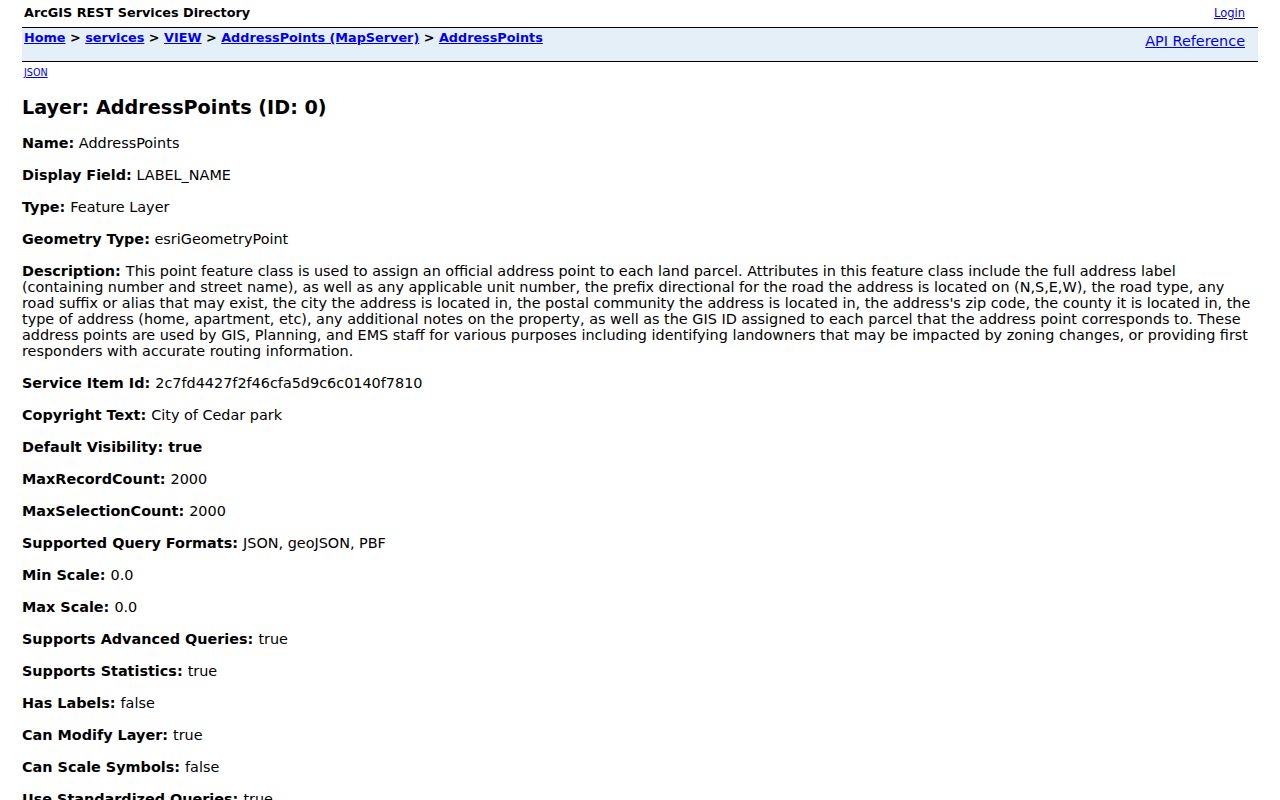
An AddressStatus such as submitted, approved, or withdrawn is a GIS workflow clue. It is not evidence that anyone lives at that address.
- GIS ID
- A map-layer identifier that helps join an address point to related geographic information.
- Situs address
- The taxable property location on a WCAD record, which may differ from an owner mailing address.
- Postal community
- The mailing-city context used for an address, which may differ from municipal jurisdiction.
- Parcel
- A mapped land unit used in assessment, planning, and recorded-land research.
Cedar Park Neighbors Street Lines
StreetLines supplies the road geometry and alias context that a parcel card alone may not show. Use it to see the relevant segment, compare a current road label with an alias, and avoid joining a target to a similarly named street elsewhere. The city’s street stack also includes subdivisions, ZIPs, neighborhood layers, zoning, and boundaries. Street geometry helps define the immediate block, but it does not create a social boundary or establish who belongs to a household.
The official Cedar Park StreetLines service is illustrated below.
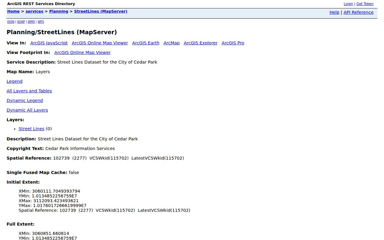
Road aliases and unit-level address details should stay with the source that supplied them, rather than being silently converted into a household list.
Cedar Park Neighbors and Permits
Permits can add physical context to Cedar Park block research without naming a resident. Cedar Park Atlas describes permit mapping from 2016 forward and distinguishes active, closed, and pending projects. MGO and permit records can associate an address with a project, status, inspection, date, contractor, applicant, or project context. A contractor or applicant may be an owner, builder, representative, or contact. It is not reliable evidence of residency or a previous household.
The Cedar Park permit map service provides the mapped project context.
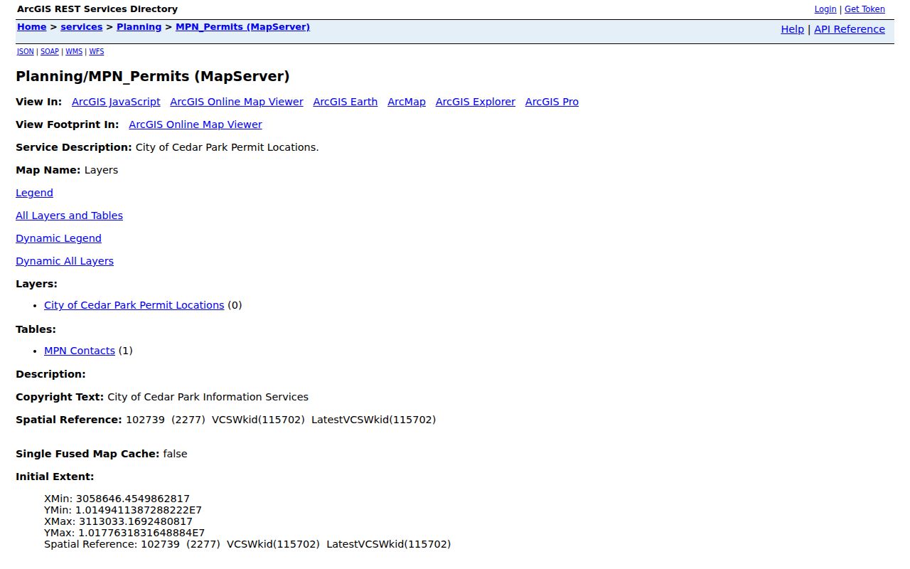
The permit layer adds a date and project layer around a Cedar Park block. It should not be used to infer a neighbor’s identity, ownership, or residence.
Note: Permit-map results have a maximum record count of 1,000, so a narrow map area and date context are more reliable than a broad export.
Cedar Park Neighborhood Layer Clues
The official HOA legend is a geographic classification, not a membership roster. It surfaces fields for neighborhood name, HOA name, organization type, crime-watch flag, home count, and ETJ. Examples include Block House Creek, Buttercup Creek, Caballo Ranch, Carriage Hills, Cypress Creek, Gann Ranch, Twin Creeks, and Whitestone Oaks. These labels can explain the mapped setting of a Cedar Park block, but the research found no official umbrella organization, member directory, public roster, or join procedure for these entries.
| Layer clue | Examples from the legend | Responsible use |
|---|---|---|
| Neighborhood name | Block House Creek, Caballo Ranch, Twin Creeks | Use as a map label and verify current organization independently for a civic question. |
| HOA field | Carriage Hills, Cypress Creek, Whitestone Oaks | Do not treat the field as a resident list, contact list, or proof of legal association. |
| Crime-watch and ETJ | Layer-specific classification values | Use as geographic context only; do not infer membership, safety status, or relationships. |
The city’s HOA and neighborhood layer is the source for those labels. Contact an association only through an independently verified public channel when a genuine community question requires it.
Cedar Park Neighbors Voter Limits
Texas voter information is a regulated, limited layer, not a block directory. My Voter Portal requires name, county, date of birth, and ZIP for a lookup, and its live result screen was not available during research. Public-list rules generally cover name, residence address, date of birth, VUID or registration number, county, date entered, and maintenance information, subject to confidentiality and exclusions. Texas does not have party registration, and election records do not reveal ballot choices.
For a lawful public-list request, Texas provides request forms and Williamson Elections is the county route. Election Code §18.009 prohibits use of voter-registration information for commercial advertising or promotion. An address shielded by the Texas Address Confidentiality Program or an Election Code confidentiality rule must remain shielded. Do not use a parcel map, a nearby address, or another public source to reconstruct it.
Cedar Park Neighbors Boundary Check
Before connecting any record to a Cedar Park block, map the city, postal community, ZIP, county, and ETJ as separate fields. A Cedar Park address can carry a Leander postal city and 78641 while still being in Cedar Park jurisdiction. The city is primarily in Williamson County, with a small Travis County edge. A ZIP alone therefore does not prove municipal residence or decide which county clerk, election office, or court holds the record.
Use Williamson address verification for the primary county route, the city Atlas for city-limit and ETJ context, and Travis address verification where the edge area requires it. The city assigns a new address only after a subdivision plat is recorded. For a new or uncertain address, compare the recorded plat’s lot and block with the map rather than assuming an address sequence crosses a boundary.
Note: A Leander postal label or 78641 ZIP can still require Cedar Park and Williamson jurisdiction checks before a county record is chosen.
Cedar Park Neighbors Tool Comparison
Official records and commercial neighbor tools serve different purposes. The official sources identify the custodian, update context, search fields, and record limits. A commercial category can mix older addresses, copied data, and unverified links with little explanation of jurisdiction or protected information. For a Cedar Park block, the parcel ID, GIS ID, road segment, and recorded plat provide a clearer audit trail than an unsupported name association.
| Source Type | Useful Strength | Limit to Keep |
|---|---|---|
| Official GIS and WCAD | Parcel geography, address normalization, and current tax-record context | Owner or map address does not prove occupancy or relationship. |
| County Clerk and plat records | Recorded lot, block, easement, and document trail | An index lead may need a custodian copy and does not establish current residence. |
| Commercial neighbor category | May offer broad leads | Accuracy, age, source, and lawful-use limits require independent official verification. |
Cedar Park Neighbors Privacy Limits
Public does not mean unrestricted. Texas Public Information Act access is limited by statutes, court orders, confidentiality designations, and record-specific rules. Vital records, voter records, court records, and jail material all have different release boundaries. The County Clerk also warns that the online official-record index is not the official repository and can have omissions, image outages, redactions, and spelling differences.
Minimize sensitive details. Do not publish full birth dates, ID numbers, financial information, protected addresses, medical information, booking photos, or identity documents. A narrow block research note can usually retain the record type, county, date, parcel ID, instrument number, or public source link without copying sensitive fields. If a government record is wrong, ask the original custodian about correction or redaction authority.
Lawful use. Cedar Park neighbor research is for personal, lawful community and property context. Do not use map or record details to monitor, stalk, harass, threaten, or contact a protected person.
Note: A blank map, voter, or court result can reflect protection, coverage, or timing and is never proof that a person is absent.