
Walk a Cedar Park Street
A street-by-street search works best as an address trail, not as a claim that one list names every occupant. Start with the city label and the unit, then connect it to a parcel and the legal description. Williamson Central Appraisal District, or WCAD, is the primary current property starting point for the predominantly Williamson County portion of Cedar Park. The city’s own GIS layers add the standardized street form, postal community, ZIP, county, status, and GIS ID. For the small Travis County edge, first confirm the county before opening a Williamson record.
- Look up the address in the city AddressPoints layer and retain the number, unit, full road name, postal community, ZIP, county, and GIS ID.
- Run the normalized address or a narrow number range in WCAD. Record the tax year, account or property ID, situs address, owner field, and legal description.
- Use city parcels and StreetLines to check the parcel shape, street geometry, aliases, neighborhood, ZIP, and city-limit context.
- Search the Williamson County Clerk Official Public Records index by the legal description and the grantor or grantee names, then obtain the custodian copy when an official image matters.
- Use a lawful, limited voter-record request only when it is needed for a registration question. Historic address clues require dated census or regional directory material, not an assumption about the current household.
The sequence keeps source keys intact. A GIS point is not a parcel card, a parcel card is not a deed, and a deed owner is not automatically the person who lives there.
Cedar Park Address Points First
The official address-point service assigns one address point per parcel and exposes more than a street label. Its fields include the number, unit, road prefix and suffix, alias, city, postal community, ZIP, county, address type, updating agency, GIS ID, status, and edit dates. That field set is valuable for separating a municipal city from a postal community. It also prevents a unit from being lost when the same street number represents several homes or apartments. AddressStatus values such as Submitted, Approved, and Withdrawn describe a workflow, not residency.
See the official Cedar Park AddressPoints service before carrying an address into another system.
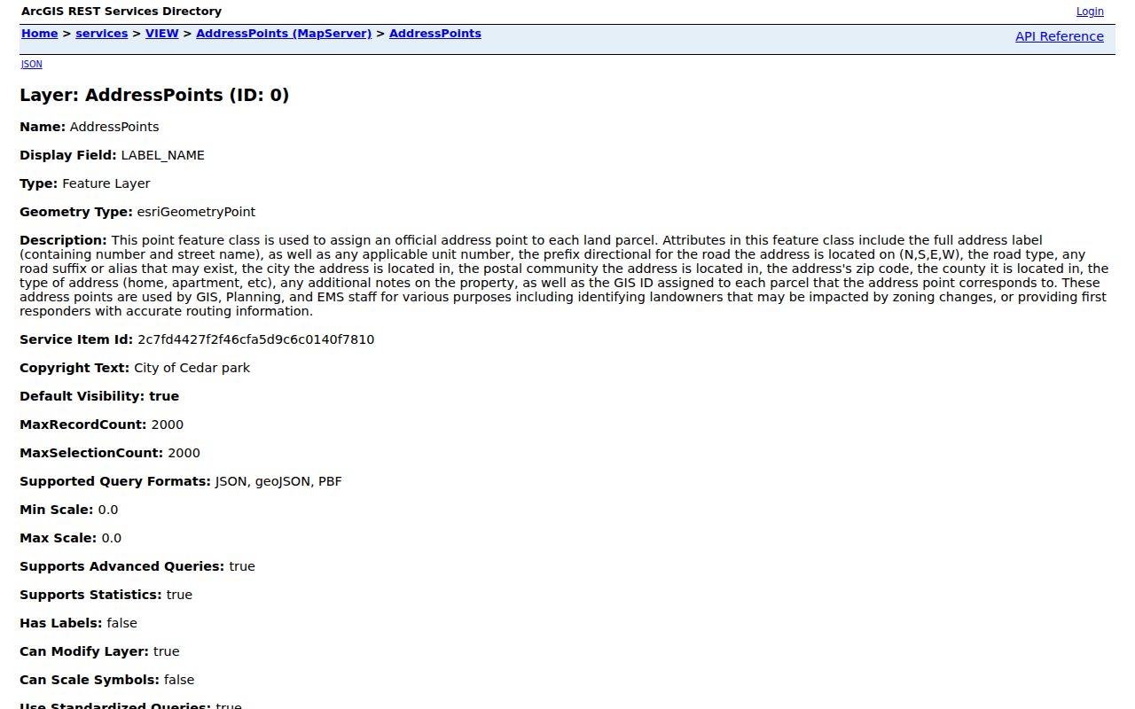
The service’s road components and GIS ID provide a stable way to compare labels across the city map and a county parcel record without treating the feature as proof of occupancy.
- Parcel
- A mapped piece of land or a separately assessed unit. Its identifier links map geometry to an appraisal record.
- Situs address
- The physical taxable location on a property record. It can differ from the owner’s mailing address.
- Plat
- A recorded subdivision map that identifies lots, blocks, streets, easements, and dedications.
- Criss-cross directory
- An address-arranged directory that can offer a dated household or business clue. No official Cedar Park-specific run was located.
Note: Preserve the city, postal community, county, and unit as separate fields when comparing Cedar Park address records.
Search Cedar Park Ranges in WCAD
WCAD’s advanced form is the practical tool for a whole block or a short street segment. It accepts a Property ID or CAD ID, street-number start and end, street name, city, ZIP, neighborhood, property type, active status, tax year, owner fields, and legal-description fields. The inspected tax-year selector showed 2024 through 2027. At least one search value is required. Results can be sorted and all pages exported to CSV, so the search terms, result count, page count, and tax year should travel with any notes.
| WCAD field | Input | Useful street-directory use |
|---|---|---|
| Street number start/end | Text range | Limits a query to a block or segment. |
| Street name, city, ZIP | Text filters | Separates similar road names and postal labels. |
| Tax year | Selector | Dates the value and property-roll view. |
| Neighborhood and type | Text or selection | Checks the appraisal classification beside the street. |
| Abstract, subdivision, block, tract/lot | Text fields | Moves from a street label to a legal description. |
| Search and Clear | Buttons | Search needs a value; result columns can be exported. |
The public WCAD advanced search also offers owner, mailing address, situs address, legal description, neighborhood, property type, and value columns. Mailing address and situs should never be merged. A mailing address can belong to a representative, be shared, or simply be old.
The WCAD property-search screen shows the name, address, and property-identifier entry point used for current parcel work.
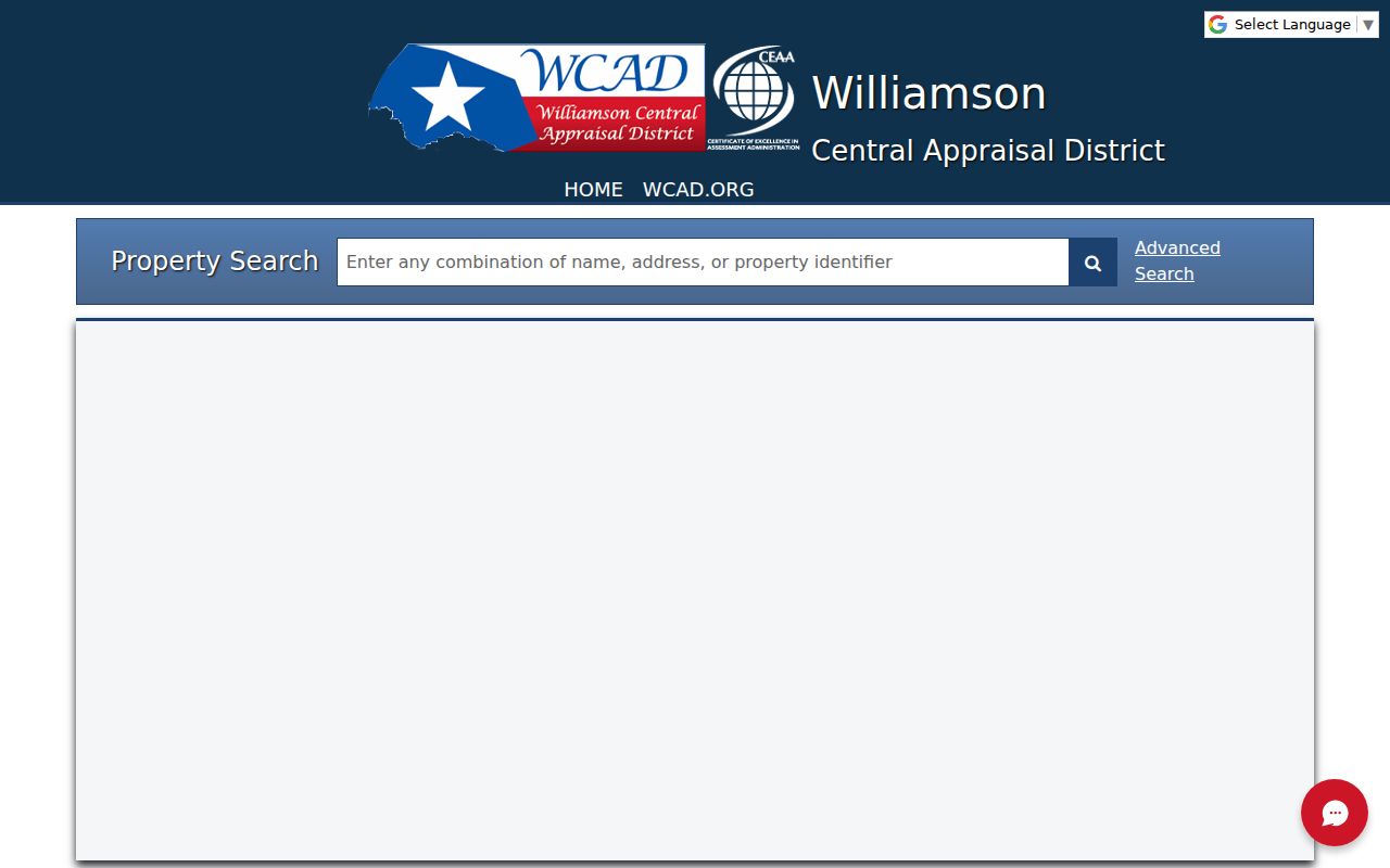
WCAD’s autocomplete appears after three characters in quick search, while the advanced range controls make a Cedar Park street directory query easier to repeat and audit.
Map Cedar Park Streets to Parcels
A map gives the street its physical context. Cedar Park Atlas brings together address, parcel, ZIP, neighborhood, HOA, permit, boundary, zoning, subdivision, flood, and roadway layers. The StreetLines service is narrower: it supports street geometry, road type, aliases, and, where enabled, query or export functions. Match the returned WCAD property ID or account to a parcel feature rather than trying to match people by similar names. The parcel establishes where a record belongs, not who has a social connection to adjacent land.
The Cedar Park Atlas is the local catalog for this map stack.
Atlas can place the same address within city limits, the ETJ, a neighborhood, or a ZIP polygon before a county record is requested.
The official Cedar Park StreetLines layer supplies the road-level context used to test an alternate street spelling or alias.
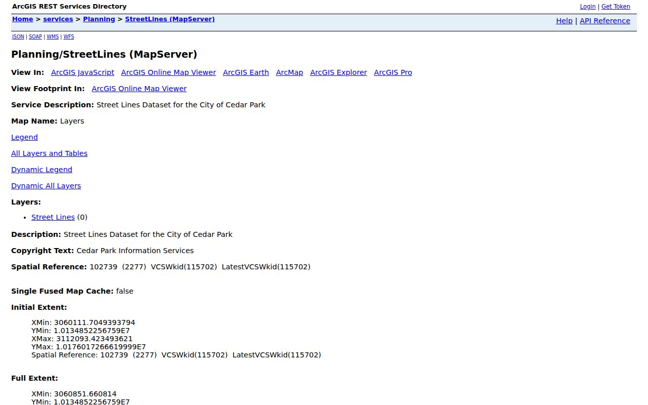
Street geometry helps reveal a renamed, extended, or split road, but a modern layer cannot by itself convert an older road reference to a current address.
The WCAD parcel viewer is a second public map route for parcel selection and export.
Use the viewer as a parcel-selection aid, then verify the actual appraisal fields in WCAD’s property record.
Follow Deeds from Cedar Park Addresses
Once a parcel card supplies the legal description, the next address-linked trail is the County Clerk’s Official Public Records index. The Williamson County Clerk holds deeds, deeds of trust, releases, plats, restrictions, easements, liens, and related filings. Search both grantor and grantee spellings and make a chain with the recording date, document type and number, parties, legal description, volume or page, and any image availability. A grantor transfers an interest; a grantee receives it. Neither role alone confirms a current household.
The Williamson County Official Public Records portal is an index convenience, not the official repository. Its disclaimer says the index resembles a library catalog, images can be unavailable during backups, and records may not be complete or unaltered. For an official or certified copy, use the County Clerk route. The Clerk cannot perform the search for a requester, so provide a narrowed name, document type, date, instrument number, or legal description.
| Current parcel | WCAD account or property ID, situs, and legal description. |
|---|---|
| Recorded plat | Subdivision, lot/block, street dedication, easement, and recording date. |
| Recorded transfer | Grantor, grantee, document number, record date, and legal-description match. |
| Older record gap | TSLAC and Baylor film preserve Williamson deed records from 1848 to 1908. |
Historic work needs a different key. More than 50 railroad right-of-way deeds were recorded in Williamson County, with 35 first recorded March 16, 1882. For a parcel near the old rail corridor, search railroad and tract terms as well as the current street. Running Brushy and Brueggerhoff are additional Cedar Park place names that can appear in older material before Cedar Park became the adopted name in 1887.
Date Cedar Park Street Changes
A new street address is assigned only after the subdivision plat is recorded, according to the city FAQ. That order explains why a planned development can appear in a plat or permit record before it appears as an active address point. Compare the recorded plat, lot and block with the current city road label. For a new or uncertain label, Williamson GIS provides an address-request route and the city GIS layer retains status and updating-agency fields.
Cedar Park’s MGO Connect permit system and Atlas permit layer can add construction context. Atlas describes permits from 2016 forward and reports active, closed, and pending project context. A permit can identify a project, application status, inspection, date, contractor, or applicant. It does not establish ownership or residency, because a contractor or representative may be named instead.
Note: Record the capture date for a roadway or permit layer because city planning data and project status can change.
Cedar Park HOA Street Context
A street can cross a named neighborhood layer without belonging to a single association. Cedar Park’s official HOA and neighborhood legend includes places such as Block House Creek, Buttercup Creek, Carriage Hills, Cedar Park Ranchettes, Cypress Creek, Galleria at Red Oaks, Twin Creeks, and Whitestone Oaks. The map fields can show neighborhood name, HOA name, organization type, crime-watch context, home count, and ETJ status. They help distinguish a subdivision or local map classification from a similar street name.
The legend does not verify a current association, a membership list, or a public roster. Use it to find the neighborhood vocabulary attached to an address, then independently confirm the organization if a civic question requires it. This is also a useful check where a parcel is in the ETJ and the street’s postal city makes the map context less obvious.
Cedar Park Street Records by Address
Each address source has a limited job. The table below separates the current property, map, recording, permit, and voter pathways rather than folding them into one purported household list. Cedar Park is mainly in Williamson County, but a small edge reaches Travis County. Use the city’s address tools and city limits or ETJ layers to select the right county custodian before asking for a plat or recorded document.
| Address-keyed source | Custodian | What it can show | Access route |
|---|---|---|---|
| WCAD parcel card | Williamson Central Appraisal District | Owner, mailing and situs addresses, property ID, legal description, values, sales, and sketch. | Public quick or advanced search; current selector exposed 2024–2027. |
| AddressPoints and StreetLines | Cedar Park GIS | Standard label, unit, road parts, postal community, ZIP, county, GIS ID, status, and geometry. | REST identify or query; layer limits apply. |
| Plat and deed chain | Williamson or Travis County Clerk | Subdivision, lot/block, legal description, transfers, easements, and recording dates. | Online index, clerk copy, or older microfilm fallback. |
| Permit or application | Cedar Park Building / MGO / Atlas | Project, address, status, inspections, dates, and applicant or contractor context. | MGO search or Atlas permit layer; Atlas reports 2016 onward. |
| Voter registration | Texas SOS or county elections | Lawfully available registration information, subject to confidentiality. | My Voter Portal or regulated list request. |
The Texas My Voter Portal uses name, county, date of birth, and ZIP. Its live result screen was not inspectable during the research. For bulk or formal needs, the state and Williamson elections routes have separate request forms and statutory restrictions. Texas does not register voters by party, and protected voters or Address Confidentiality Program participants may have an asterisk or substitute address.
Cedar Park Streets Need County Checks
Postal labels are not jurisdiction records. Cedar Park’s FAQ says an address can remain within Cedar Park jurisdiction while using a Leander postal city and ZIP 78641. The city points Williamson address verification to Williamson County’s address search and the Travis edge to Austin and Travis mapping. Check Cedar Park Atlas for city limits and ETJ, then use the county result to choose the recorder and other county-held records.
No complete official Cedar Park street-renaming, municipal renumbering, or annexation-by-address bridge was found. A safe historic method is to retain the exact old road wording, compare the plat and county maps, and ask addressing staff for help with a specific plat, lot, block, abstract, or tract. Do not silently convert an old rural description to a current street.
For a narrow street question that becomes a person-specific verification task, use the separate Cedar Park resident lookup rather than extending an address record beyond what it shows.
Cedar Park Street Directory Limits
A Cedar Park street directory can organize public address evidence, but it cannot prove who occupies every house or unit. Owner records describe a property interest. A voter record is subject to confidentiality rules. Permit files identify project participants, not necessarily residents. Utility-customer lists, code-enforcement lookups, a public foreclosure list, and a tax-sale index were not located in the reviewed official sources. Treat a missing online result as a reason to ask the correct custodian about a specific record, not as proof that a person is absent.
Lawful use. Cedar Park address records are for personal, lawful research. Do not use an address trail to stalk, harass, intimidate, or expose a protected person.
Texas voter confidentiality protections cover eligible officials, court personnel and families, and some victims, while the Texas Address Confidentiality Program supplies substitute addresses. Those boundaries are part of the record, not a gap to work around.